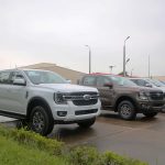
Apple has selected a number of vehicles equipped with GPS systems, 8 cameras, four LiDAR scanners, and a laser-based sensor commonly used in autonomous vehicles to collect map data.
The official website of Apple Maps (maps.apple.com) recently publicized information about map data collection vehicles in Vietnam. According to this information, Apple’s vehicles began operating on February 16, with their first destination being the Southeast region of Vietnam. They will then move on to the North Central region, the South Central Coast region (March 5), and the Red River Delta region (March 8). This mission will last for more than 7 months and conclude on October 24.
Most of the data for Apple’s new map system is self-generated using satellite imagery, iPhones, and equipped vehicles with sensors and advanced cameras. The data collected by these vehicles provides highly accurate information for premium features such as Look Around and augmented reality-based walking and biking directions.
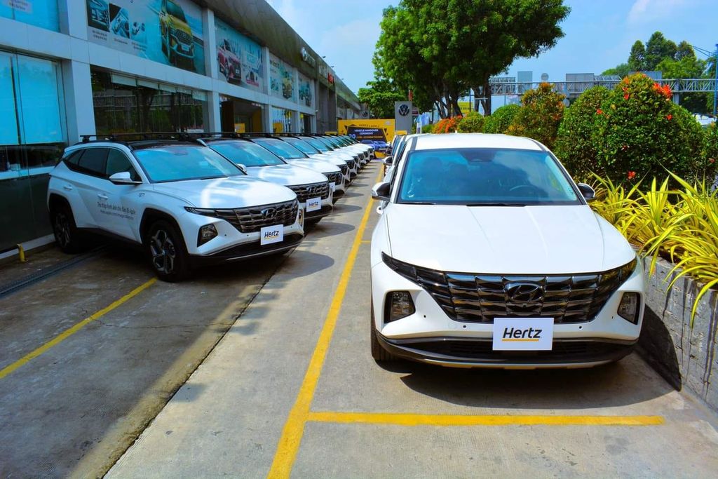
In Vietnam, Apple Maps utilizes 20 Hyundai Tucson vehicles to collect map data. These vehicles were delivered starting from July 2023 and are all Turbo models with a white exterior. The vehicles were acquired through a partnership between Hertz and Apple, with Hertz being a reputable car rental company worldwide.
Each data collection vehicle is equipped with GPS systems, 8 cameras with Zeiss lenses, 4 LiDAR scanners, and 1 laser-based sensor commonly used in autonomous vehicles. The real-time data collected is processed by a Mac Pro located inside the vehicle. Additionally, near the driver’s position, there is an iPad device customized for the task, called EyeDrive. This device controls capturing images and provides instructions to the operator. Apple mentioned that they also utilize iPhones to guide the operator, but the specific tasks of the iPhones were not mentioned.
To ensure privacy, if license plates or people’s faces appear in the captured map images in Vietnam, Apple will blur them before uploading to the system.
The vehicles’ travel time is also regulated. Specifically, each team is only allowed to collect data when the sun is at or above a 30-degree angle from the horizon. This is because the sun can interfere with the LiDAR sensors at low angles. The capturing process should also be conducted under ideal conditions, such as clear skies, no rain, and gentle sunlight, to synchronize with images of different areas.
In the future, users will be able to directly view images of Vietnam’s maps captured by Apple’s vehicles, similar to the Look Around feature of Google Street View.
TT (Tuoitrethudo)
The Perfect Ford Ranger 2022: The King of Pick-up Trucks
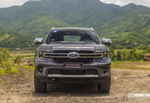
Immediately after the successful launch of the Ford Everest, the popular SUV model that caused quite a stir, Ford Ranger seizes the opportunity to update and release a completely new version. With this exciting development, it is poised to maintain its dominance in the pickup truck segment in Vietnam.























.jpg)

![[CAR REVIEW] The Newly Launched BMW iX3 in Vietnam: Compact, Practical, and Expensive](https://vnauto.net/wp-content/uploads/2023/10/xehay-bmwix3-01082023-9-150x150.jpg)

![[CAR REVIEW] Wuling Mini EV: Affordable, Compact, Convenient, but…](https://vnauto.net/wp-content/uploads/2023/10/xehay-wulingev-16062023-8-150x150.jpg)
