


|
|
Image source: Wired. |
The “street view” trend of revisiting old neighborhood scenes from years past gained popularity on social media following the merger of provinces and cities. Many people believed that these images were captured by satellites from above. However, this is not actually the case.
Below is an account published by The New York Times about a driver for Google who helped create “Street View” maps.
Three Years of Relentless Driving Across Towns and Cities
In 2022, Mr. Joe McCallen from the United States came across a mysterious job posting for a driver on the internet. Intrigued, he applied and was soon hired for the position. McCallen was provided with an older model Honda HR-V, which had been outfitted with a peculiar 3-meter-high machine on its roof. The cabin area featured a special screen, and the backseat was filled with computers.

|
|
Mr. Joe McCallen (left) and a photo of people waving at the Street View car as the driver unexpectedly passed by. Image source: The New York Times. |
It was then that McCallen realized he had become a part of Google’s ambitious project to map every nook and cranny of the United States. Over the course of three years, McCallen and his Street View-equipped car traveled more than 160,000 kilometers across the Midwest and East Coast of the country.
His job was simply to drive from sunrise to sunset, while the camera on the roof continuously captured images to create a panoramic view of the region. McCallen drove not only in New York City but also crisscrossed state lines. He shared memories of witnessing the aurora in Maine, roaming the streets of Florida, and stopping at a local diner on the West Coast.
|
|
|
Camera mounted on the roof (left) and electronic equipment inside the car for storing images (middle and right). Image source: The New York Times. |
“I loved the job. The places you go, the people you meet, it’s indescribable,” said McCallen.
As he drove through West Village, pedestrians would wave and nod at the car as if greeting a celebrity. However, there were also instances where people expressed discomfort and tried to block the camera out of privacy concerns.
Almost Two Decades Since the First Street View Car
The first car used to create Google Maps’ Street View imagery appeared in 2007. It was equipped with a bulky black device as it drove around Mountain View, California. Back then, the cameras were not as advanced, and dew often formed on the lenses.
|
|
|
The first car equipped with a camera system to capture images for Google Maps in 2007. Image source: Google. |
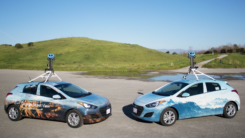
According to Ethan Russell, a senior director at Google Maps, drivers during this time would use socks to cover the lenses at night to prevent dew formation and ensure clearer images in the morning. Today, Google Maps vehicles are more sophisticated, featuring a compact and detachable camera system that can fit on any roof rack.
The backseat of these cars still houses complex equipment for storing and extracting images captured by the cameras and radar. The Google Maps team is now working on integrating artificial intelligence (AI) into the cameras to automatically blur license plates, faces, and addresses. This system can also extract information such as opening hours and phone numbers of restaurants for search results.
Recommended Reads for Your Next Road Trip
Our Automotive section offers a selection of captivating books with diverse themes. During those moments of rest and relaxation on your journey, a good book can be a wonderful companion.
“Vingroup Launches Robotics Research and Development Company”

Vingroup announces the official establishment of VinRobotics Joint Stock Company, specializing in robotics research, development, and applications with a charter capital of VND 1,000 billion.
“Vietmap Discontinues Pre-paid Updates: Drivers Forced to Seek Alternatives”

Instead of shelling out 1.49 million VND for a lifetime Vietmap S2 account, users now need to subscribe and pay approximately 600,000 VND annually to access the LIVE version.


